
The real Australian Capital
Aboriginal people first settled in what is now the Australian Capital Territory over 21,000 years ago. Prior to European colonization, the Ngunnawal were the preeminent indigenous tribe in the area. Every year in the late spring, indigenous people flocked to the highlands of the area in search of the elusive and delicious Bogong moth.
When Charles Throsby, a European explorer, arrived in the region in 1821, he gave it the name Limestone Plains. Permanent settlers began arriving in Canberra in 1824, and by the end of the 1830s, the majority of the area had been claimed.

According to Section 125 of the Australian Constitution (established in 1900), the nation’s capital must be located inside the federal territory with an area of at least 100 square miles (260 square kilometers), in a region of New South Wales that is at least 100 miles (160 kilometers) from Sydney. Melbourne was chosen as the nation’s interim capital. The Canberra-Yass district was chosen in 1908 because it was large enough (at least 2,330 square kilometers or 900 square miles) and convenient to the ocean for use as the nation’s capital.
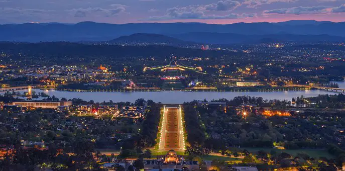
In 1911, the federal government started purchasing property for the future metropolis. The Seat of Government (Administration) Act of 1910 ensured that the government would retain possession of the site. The Commonwealth of Australia held an international competition in 1911 to choose a new capital city’s layout. Chicagoan Walter Burley Griffin, who studied under Frank Lloyd Wright and was inspired by the English garden city idea, won first place. Trees were planted, a water system was installed, and another preliminary infrastructure was built after the cornerstone was placed in 1913. Specifically, Griffin envisioned a north-south land axis and a decorative lake in the east-west Molonglo floodplain.
Major thoroughfares that gave sightlines between landmarks formed the legislative triangle. The Parliament and the majority of other federal buildings were planned to be located inside the triangle, with Civic Centre serving as the regional administrative hub and the Market District providing retail and wholesale goods. North and south of the lake, communities of sufficient size were planned to accommodate a total population of about 30 thousand. As part of the plan’s commitment to the landscape, all of the highest peaks and hilltops will remain covered with native vegetation.
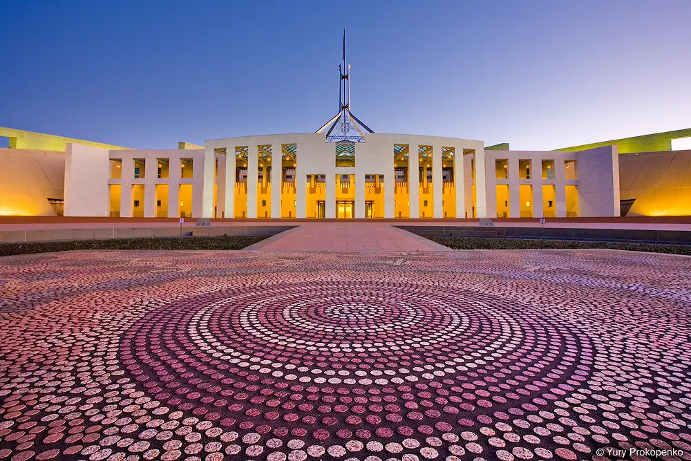
The building process halted during WWI (1914-18), but it started back up when the war ended. In 1927, when the population was just over 6,000, the first Parliament House was opened. Till the new House was completed in 1988, it served its purpose, although with several additions. The 1920s saw significant growth, but the Great Depression, World War II, and its aftermaths all put the brakes on progress (1939–45). There were only around 17,000 people living there in 1947, and most government agencies were still headquartered in Melbourne.
Poor service coordination stymied early postwar efforts to relocate government agencies to Canberra. The National Capital Construction Commission was founded in 1958 with broad authority to plan, develop, and build Canberra after it was recommended by a Senate Select Committee for the development of the nation’s capital. Since all undeveloped property was in public possession, this commission was in the unusual position of being in charge of its maintenance, subdivision, and the erection of public infrastructure and structures.
Robert Gordon Menzies, prime minister from 1939 to 1941 and again from 1949 to 1966, gave the inquiry his full backing and provided appropriate funding. The city’s population increased swiftly as a consequence, from 30,000 in 1954 to over 200,000 in the mid-1970s, and then gradually to over 325,000 at the turn of the 21st century. In 1988, before self-government was implemented the following year, the commission was disbanded, and the territorial and federal governments took up responsibility for planning and development.
Griffin’s concept was only applicable to the central basin. Woden was the first urban area built outside of that basin, starting in 1962. Belconnen, Tuggeranong, and Gungahlin followed in the following years. Natural and geographical factors have impeded city expansion. The Canberra Spatial Plan, which lays out the city’s plans for the first 30 years of the 21st century, specifies that both the territory and New South Wales will expand to provide room for Australia’s capital city.


